Advanced Roading: favored by U.S. DOTs and heavy highway contractors
around the world
• Cutting-edge functionality for staking intersections and cul-de-sacs
using Carlson Road Network files
• Optional Field-to-Finish: Create drawings intuitively
and automatically as you work, saving you time back in the office
• Highly graphical and intuitive user interface is
designed by surveyors for surveyors’
• Strong GIS features for accurate data capture,
including attribute data and seamless linking to Esri®
• Easy data exchange due to rich support of CAD
file formats and .dwg, .dgn, .shp
• More field capabilities with quick and easy volume
calculation and ability to generate points from polylines
• Cut/Fill stakeout using surface files
• Camera integration allowing assignment of picture
to points or lines
• Export directly in KML format for fast control in Google Earth
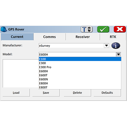
• True versatility: SurvCE and SurvPC run on hundreds of GPS and
total station models in service today, including Altus, Ashtech, Carlson,
Geomax, Leica, Pentax, Sokkia, Spectra-Precision, Stonex, Topcon, and more. See
full list at www.survce.com.
• SurvCE/PC are available in more than two dozen languages: English,
Spanish, German, French, French (Canadian),Russian, Portuguese, Czech, Dutch,
Chinese, Korean, Greek, Italian, Polish, Hungarian, Swedish, Latvian and more.
.png)


 eRTK10 mini
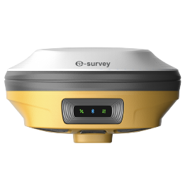 eRTK20
 eRTK25
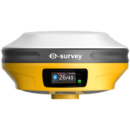 eRTK30
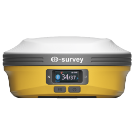 eRTK60
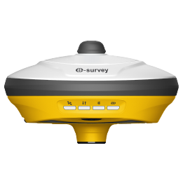 eBase 20
.png) eBase 30
eBase 30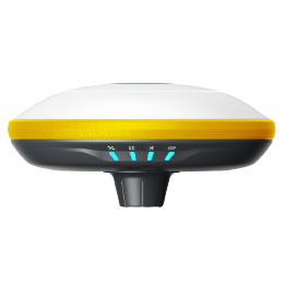 E300 Pro
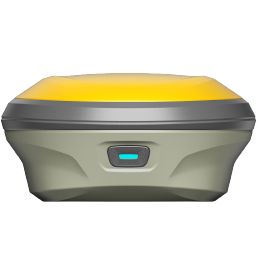 E500
E500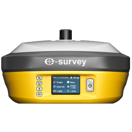 E800
E800 E800 Pro
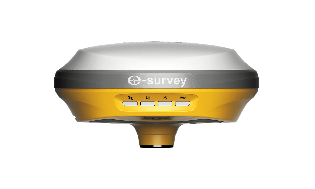
 E600
E600 eDMR1
eDMR1 eSAR50
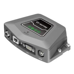 NET10
NET10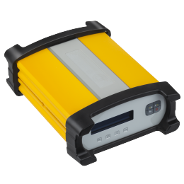 NET20 PLUS
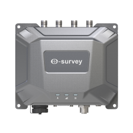 eHP10
eHP10 eHP10 Lite
 P8III
P8III P9IV
P9IV P9V
P9V UT32
UT32 eSA3
eSA3 260_260.png) eT80(H)
eT80(H)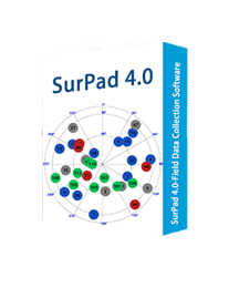 Surpad4.2
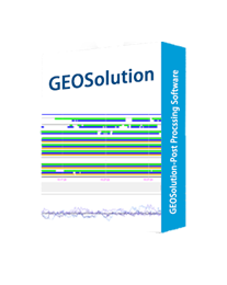 GEOSolution
 RootNet
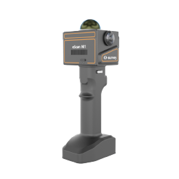 eScan M1
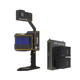 eHLS2
eHLS2 eLidar A1
 eME10
eME10 eME30
eME30 eMP10
eMP10 eMG30
eMG30 eMR10
eMR10 eMB10
eMB10 eMC10
eMC10 EAS502
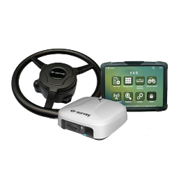 Bestar 301
 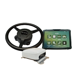 EAS301 Pro Motor
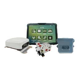 EAS301 Pro Hydraulic
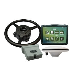 EAS100
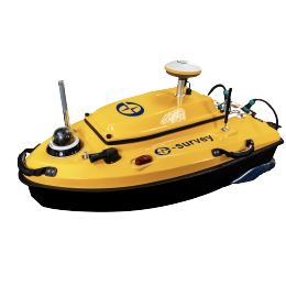 VE115
VE115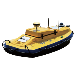 VE158
VE158 VE90
VE90.png) eTS32
eTS32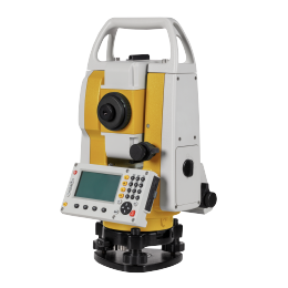 E3
E3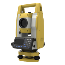 eTS2
eTS2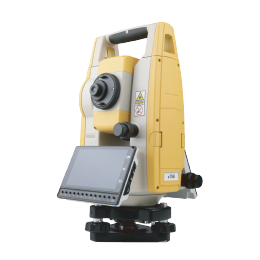 eTS8
eTS8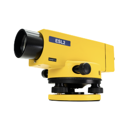 ESL2
ESL2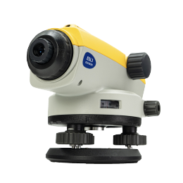 ESL3
ESL3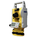 ET2A
ET2A TRU35
TRU35 UA91
UA91 UA92
UA92 UA35
UA35.png)