.png)
Welcome,

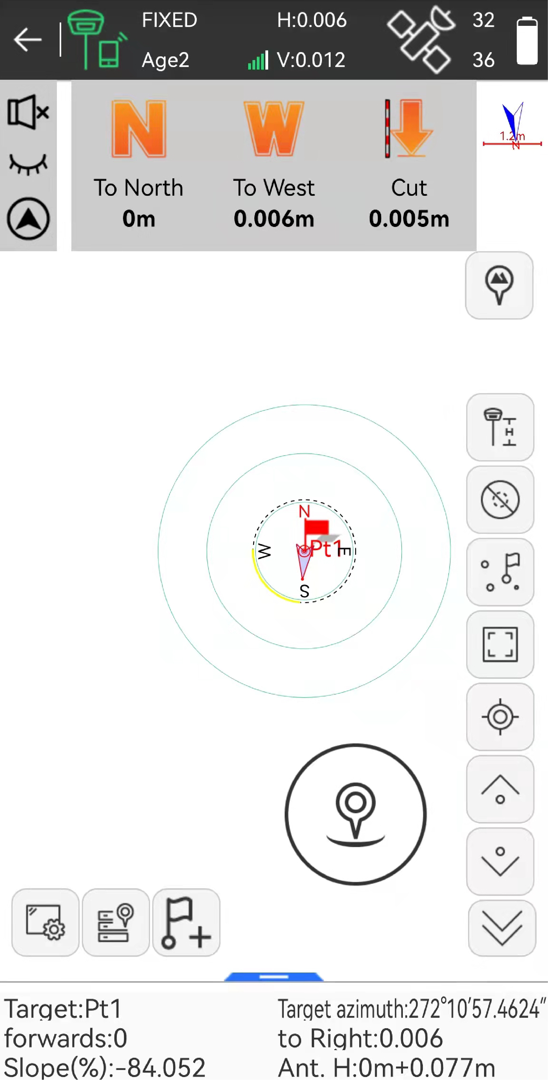
Based on the Android platform, the eSurvey SurPad 4.2 software is designed to assist professionals with all types of land surveying projects in the field. Combining with the international mainstream of surveying and mapping data acquisition function, it integrates with professional receiver control, point collection, stakeout, GIS data collection, road measurement, road design, cross-section measurement, railway stakeout, and COGO functions. Its comprehensive functions enhance users’ work efficiency.
Contact Us NowPowerful Functions
Enjoy the powerful functions, including tilt survey, CAD, line
stakeout, road stakeout, GIS data collection, COGO calculation, QR code scanning,
FTP transmission, etc.
Abundant Formats for Importing and Exporting
Directly import and export files with frequently used formats and
customized formats.
Easy-to-use UI
Freely choose the desired display style, including list, grid, and
customized style, and enjoy easy operations with graphic interaction, including
COGO calculation, QR code scanning, FTP transmission, etc.
Advanced Display of Base Maps
Supports the import of different formats of base maps including, but
not limited to AutoCAD formats (DXF, DWG), SHP and Land XML, which provides a
more user-friendly experience during fieldwork.
Compatible with Any Android Devices
Use it on all Android devices (Android 7.0 and above), including eSurvey
handhelds, Android phones, tablets, and other third-party Android devices.
Powerful CAD Function
The powerful CAD function built in Surpad4.2 supports the import,
export, creation, and editing of CAD graphics either on or outside of the
field.
Key
Functions

|
More comprehensive and rich survey and stakeout functions
to improve the efficiency of your work. |
 |
Multiple road designs, road measurement, cross section
stakeout, etc. |

|
Rich built-in coordinate system parameters for surveying
and mapping without creating it by yourself, which is time-saving and
trouble-saving. |
 |
With GIS data collection, the
information on various map attributes, facilities, assets, and organizational
data can be digitized and organized on a target GIS system in appropriate
layers. |
 | Rich COGO calculation for solving your coordinate geometry problems:
|

|
Advanced CAD data management, supporting drawing CAD
objects, importing files of DXF, DWG and XML formats, and exporting files of
DXF format. |

Related Products
|
 eRTK10 mini
 eRTK10 Pro
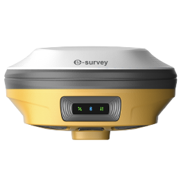 eRTK20
 eRTK25
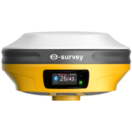 eRTK30
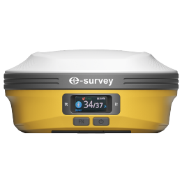 eRTK60
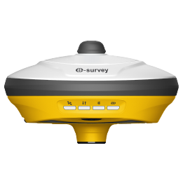 eBase 20
.png) eBase 30
eBase 30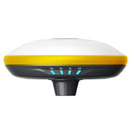 E300 Pro
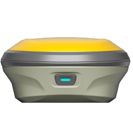 E500
E500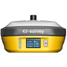 E800
E800 E800 Pro
 E600
E600 eDMR1
eDMR1 eSAR50
 NET10
NET10 NET20 PLUS
 eHP10
eHP10 eHP10 Lite
 P8III
P8III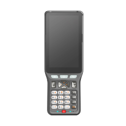 P9IV
P9IV P9V
P9V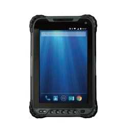 UT32
UT32 eSA3
eSA3 260_260.png) eT80(H)
eT80(H)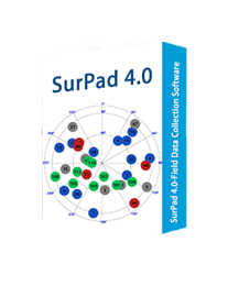 Surpad4.2
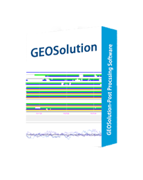 GEOSolution
 RootNet
 eScan M1
 eHLS2
eHLS2 eLidar A1
 eME10
eME10 eME30
eME30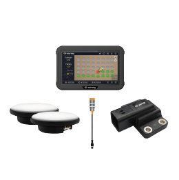 eMP10
eMP10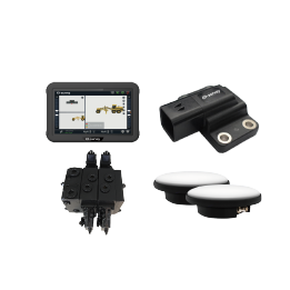 eMG30
eMG30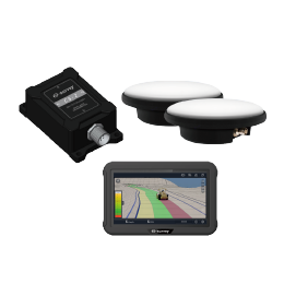 eMR10
eMR10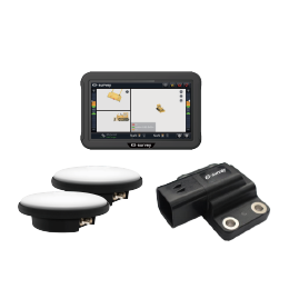 eMB10
eMB10 eMC10
eMC10 EAS502
 Bestar 301
  EAS301 Pro Motor
 EAS301 Pro Hydraulic
 EAS100
 VE115
VE115 VE158
VE158 VE90
VE90.png) eTS32
eTS32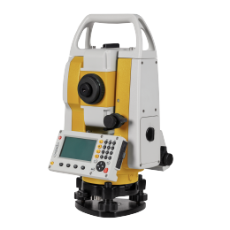 E3
E3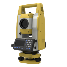 eTS2
eTS2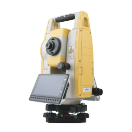 eTS8
eTS8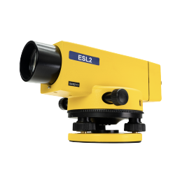 ESL2
ESL2 ESL3
ESL3 ET2A
ET2A TRU35
TRU35 UA91
UA91 UA92
UA92 UA35
UA35.png)