.png)
Welcome,
.png)
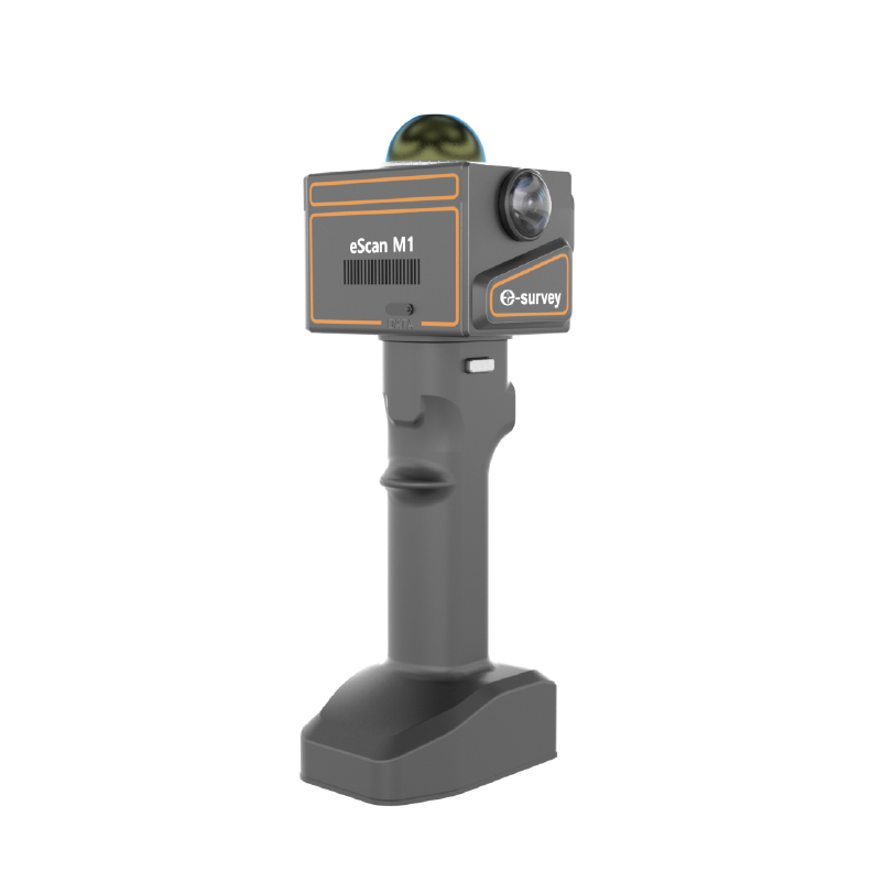
The eScan M1 is an mobile 3D laser scanner, integrating point cloud scanning, panoramic image capture, and detailed visual recording into a single compact system. Its high-performance algorithm allows for real-time collection and processing of 3D data, significantly improving on-site operating efficiency. Terrain mapping, mining, public safety, underground space surveying, forestry, oil and gas pipelines, construction workflows, education, and the film industry are all common applications.
Contact Us Now

 eRTK10 mini
 eRTK20
 eRTK25
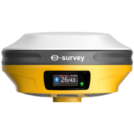 eRTK30
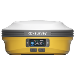 eRTK60
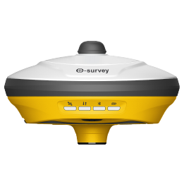 eBase 20
.png) eBase 30
eBase 30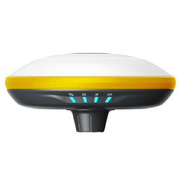 E300 Pro
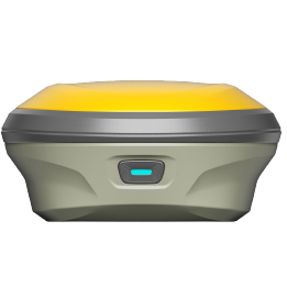 E500
E500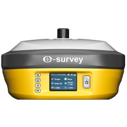 E800
E800 E800 Pro
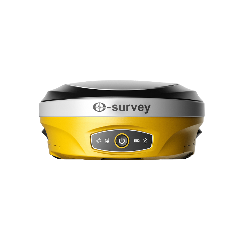 E600
E600 eDMR1
eDMR1 eSAR50
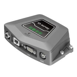 NET10
NET10 NET20 PLUS
 eHP10
eHP10 eHP10 Lite
 P8III
P8III P9IV
P9IV P9V
P9V UT32
UT32 eSA3
eSA3 260_260.png) eT80(H)
eT80(H)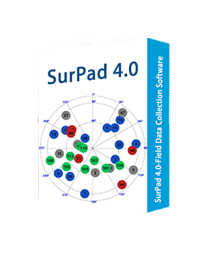 Surpad4.2
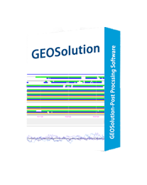 GEOSolution
 RootNet
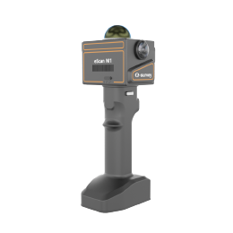 eScan M1
 eHLS2
eHLS2 eLidar A1
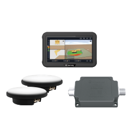 eME10
eME10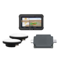 eME30
eME30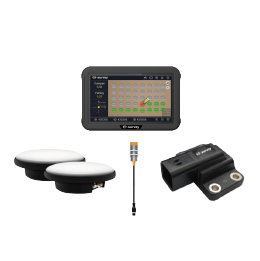 eMP10
eMP10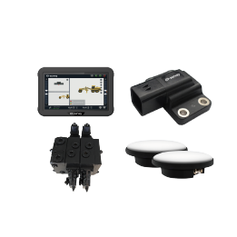 eMG30
eMG30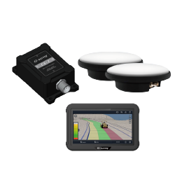 eMR10
eMR10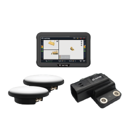 eMB10
eMB10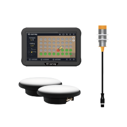 eMC10
eMC10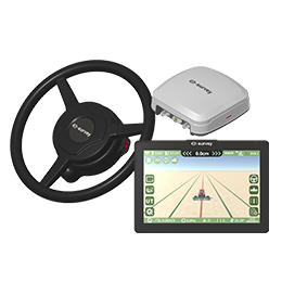 EAS502
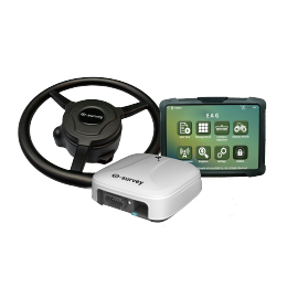 Bestar 301
 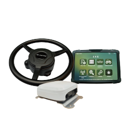 EAS301 Pro Motor
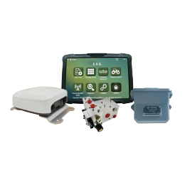 EAS301 Pro Hydraulic
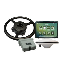 EAS100
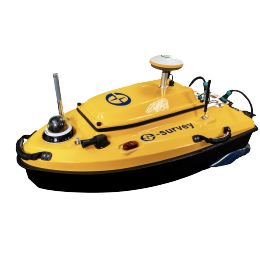 VE115
VE115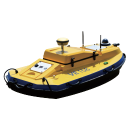 VE158
VE158 VE90
VE90.png) eTS32
eTS32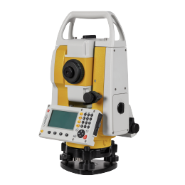 E3
E3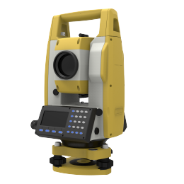 eTS2
eTS2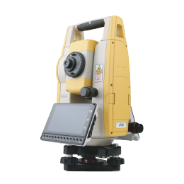 eTS8
eTS8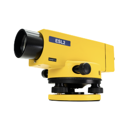 ESL2
ESL2 ESL3
ESL3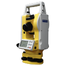 ET2A
ET2A TRU35
TRU35 UA91
UA91 UA92
UA92 UA35
UA35.png)

