Adaptation Flexibility
Support global coordinate library, and provides multilingual versions for global users; Supports CORS, radio, and other differential modes. Support multi-project and multi-site management, can quickly switch between multiple sites; Support backhoe, hydraulic breaker, drum cutter, face shovel, tilt bucket, and other accessories, with fast switching; Supports bucket tooth tip wear compensation, allowing for high-precision positioning even on older buckets.
Operation Safety
No more traditional survey and stake out,bucket tip is your new tool. Set up an e-fence as an avoidance zone to decrease accidents and economic compensation while also improving construction site safety. System abnormal status reminder to prevent problems caused by sensor abnormality or improper operation.
True and Productivity
Independent innovation technology, the system accuracy reaches 3cm RMS , suitable for projects with strict standard. Support the Cloud platform Data storage, playback,real-time supervisor and management.The data is real and effective, allowing for remote management of quality and progress. The whole process data is automatically collected, distributed, and archived, making it convenient for data query, unified analysis, and decision-making assistance; Construction process data visualized, real-time replay of construction process, intuitive, and construction outcome report can be found as inspection data.
New Attachment Support
The eME30 system supports tilt buckets, twisting buckets, hydraulic breakers, drum cutters. Once set up, there is no need to measure again when changing attachments.
Accomplishing More in Less Time
Quickly calibrate. A breakthrough new calibration procedure that takes only 15 minutes, requires no difficult operation, and can be completed by a single person and machine. It is easy, efficient, and accurate. Horizontal guide auxiliary lines and horizontal offset display; Point mark layout function, which can mark the position, perform point library management, and indicate the guidance to the target point.
.png)


 eRTK10 mini
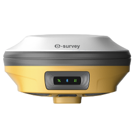 eRTK20
 eRTK25
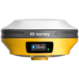 eRTK30
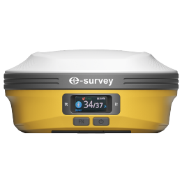 eRTK60
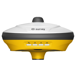 eBase 20
.png) eBase 30
eBase 30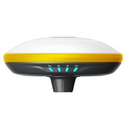 E300 Pro
 E500
E500 E800
E800 E800 Pro
 E600
E600 eDMR1
eDMR1 eSAR50
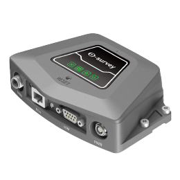 NET10
NET10 NET20 PLUS
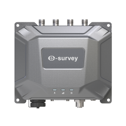 eHP10
eHP10 eHP10 Lite
 P8III
P8III P9IV
P9IV P9V
P9V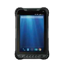 UT32
UT32 eSA3
eSA3 260_260.png) eT80(H)
eT80(H)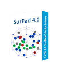 Surpad4.2
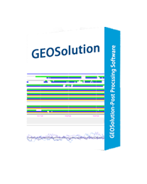 GEOSolution
 RootNet
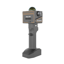 eScan M1
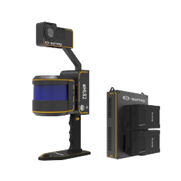 eHLS2
eHLS2 eLidar A1
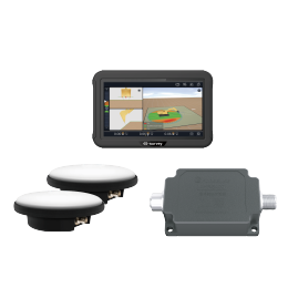 eME10
eME10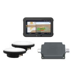 eME30
eME30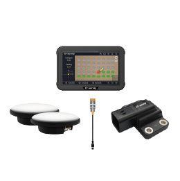 eMP10
eMP10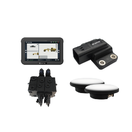 eMG30
eMG30 eMR10
eMR10 eMB10
eMB10 eMC10
eMC10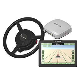 EAS502
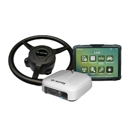 Bestar 301
 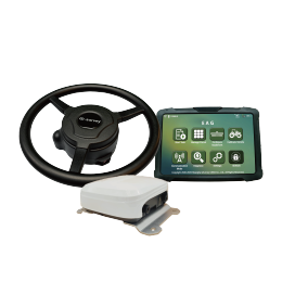 EAS301 Pro Motor
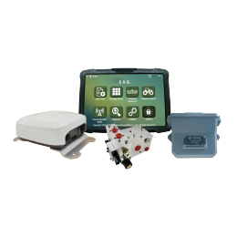 EAS301 Pro Hydraulic
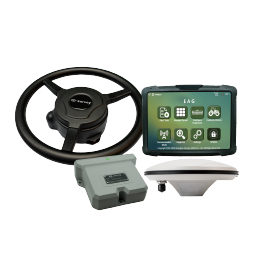 EAS100
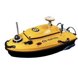 VE115
VE115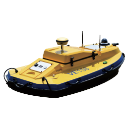 VE158
VE158 VE90
VE90.png) eTS32
eTS32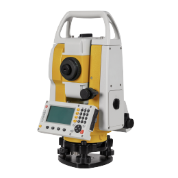 E3
E3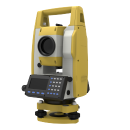 eTS2
eTS2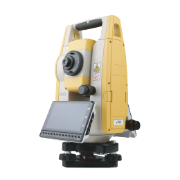 eTS8
eTS8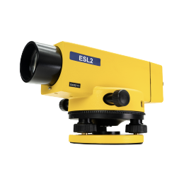 ESL2
ESL2 ESL3
ESL3 ET2A
ET2A TRU35
TRU35 UA91
UA91 UA92
UA92 UA35
UA35.png)

