Improved Accuracy
Bucket teeth with 3cm accuracy. Visualized the blind spots and real-time guidance during the working process, Results are displayed graphically and digitally for easy understanding. Reduces over- and under-excavation while improving the general flatness of the excavation surface.
Lower Cost
No assistant is required; One person can complete the work. Reduce the requirements for the operator. No measurement or stake out is required; Simply start the machine and work. Reduce fuel consumption and mechanical loss to reduce operating costs.
Improved Efficiency
Simplified construction process, 50% higher efficiency. Quick excavation, reduced rework, and guaranteed construction period. 24-hour construction without being affected by the environment No fear of complex shapes; One-time molding.
Easy Installation
One man can install all. Work faster and more efficiently by guiding excavator operations, quick for the installation and easy for the operator. Installation could setup on boom or machine body.
Rugged Hardware
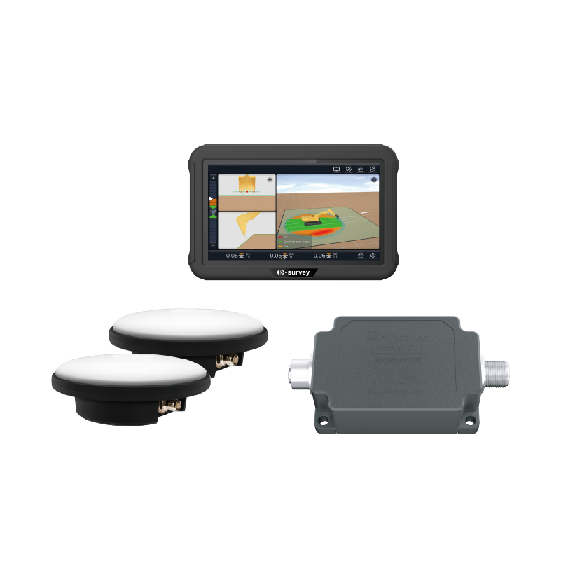
The eME10 can be used for many years even under harsh environmental conditions (like dust, mud, rain, extreme heat, and cold) thanks to its rugged design of the display, GNSS receiver, positioning antenna, heading antenna, and tilt sensors.
Fast Calibration
A new 3D modeling calibration method will provide customers with a brand-new way of measuring that does not require a total station. Easy and quick to learn and run; No need calculate the parameters on site.
.png)

 eRTK10 mini
 eRTK10 Pro
 eRTK20
 eRTK25
 eRTK30
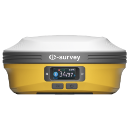 eRTK60
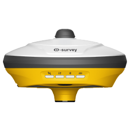 eBase 20
.png) eBase 30
eBase 30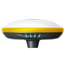 E300 Pro
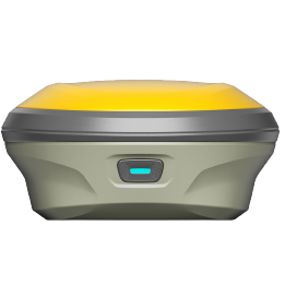 E500
E500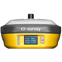 E800
E800 E800 Pro
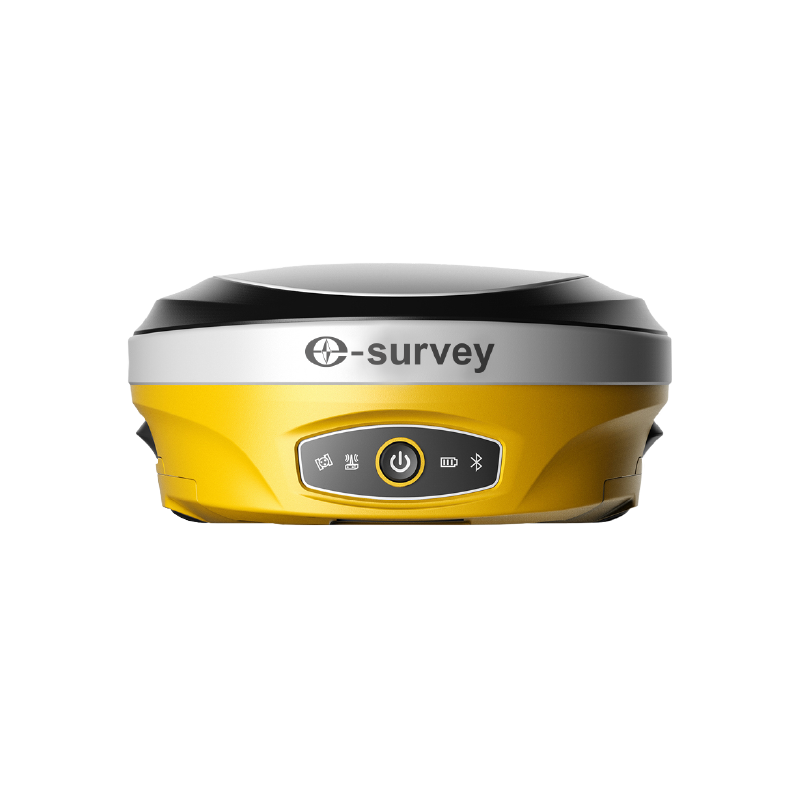 E600
E600 eDMR1
eDMR1 eSAR50
 NET10
NET10 NET20 PLUS
 eHP10
eHP10 eHP10 Lite
 P8III
P8III P9IV
P9IV P9V
P9V UT32
UT32 eSA3
eSA3 260_260.png) eT80(H)
eT80(H)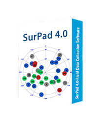 Surpad4.2
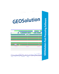 GEOSolution
 RootNet
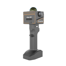 eScan M1
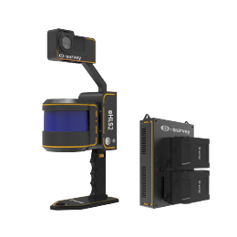 eHLS2
eHLS2 eLidar A1
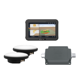 eME10
eME10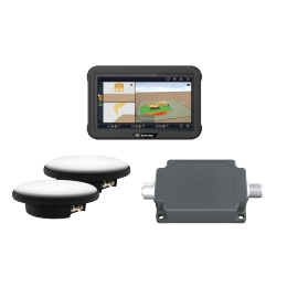 eME30
eME30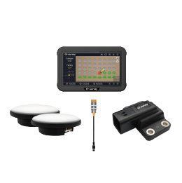 eMP10
eMP10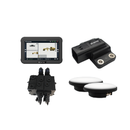 eMG30
eMG30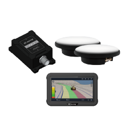 eMR10
eMR10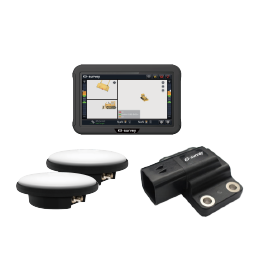 eMB30
eMB30 eMC30
eMC30 EAS502
 Bestar 301
 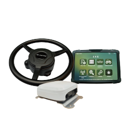 EAS301 Pro Motor
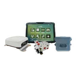 EAS301 Pro Hydraulic
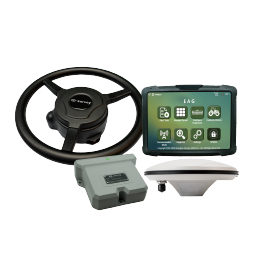 EAS100
 VE115
VE115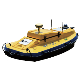 VE158
VE158 VE90
VE90.png) eTS32
eTS32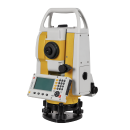 E3
E3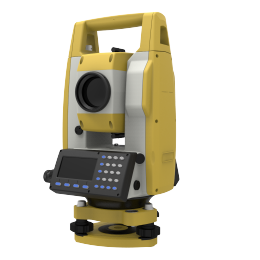 eTS2
eTS2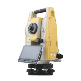 eTS8
eTS8 ESL2
ESL2 ESL3
ESL3 ET2A
ET2A TRU35
TRU35 UA91
UA91 UA92
UA92 UA35
UA35.png)

