Flexible Adaptation
Adaptable to different brands and types of cranes with no system limitations. Support global coordinate library, multi-project, multi-site management, and network differential.
Operation Convenience
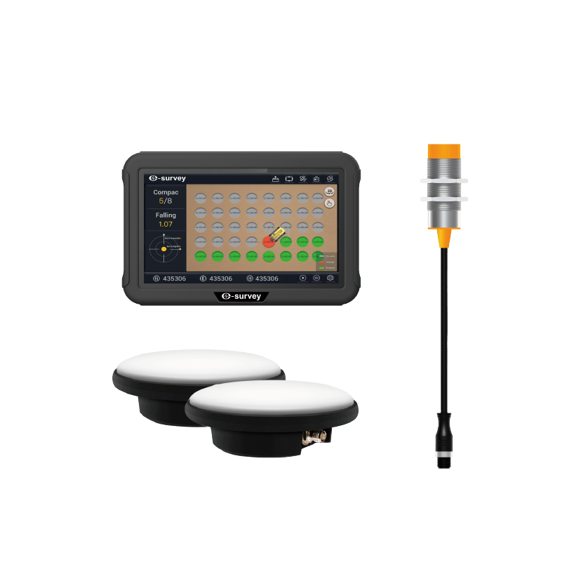
Allow clients to create design files locally, eliminate the need for complex design processing conversion on PC software. Enable fast construction. It is unaffected by the environment and allows 24-hour construction. Automatically identify ramming points and record key data such as the number of ramming strokes, ramming distance, and ramming sedimentation.
Quality Monitoring
Allow remote monitoring of the construction process, quality, and progress. Enable prompt detection of deviations and provide early warning for corrective action. Real-time recording and transmission of key parameters of the construction process to ensure construction quality.
Data Tracing and Platform Communication
Automatically collect and flow all process data, electronically archiving it for easy data query, statistical analysis, and decision-making support. Construction process data visualization displays in real time, allowing for playback of the construction process. Communicate with the digital construction management platform in two directions ways. Remotely send out construction tasks and visualize construction work data.
Security
Stakeless construction enhances site safety by eliminating the need for surveyors to sample the datum line. The electronic fence also enables the setup of danger avoidance zones.
Wide Application
Widely used in foundation reinforcement projects for residential buildings, highways, airports, railroads, squares, stadiums, industrial plants, ports, wharves, warehouses, petrochemical plants, and nuclear power plants.
.png)

 eRTK10 mini
 eRTK10
 eRTK20
 eRTK30
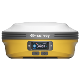 eRTK60
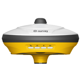 eBase 20
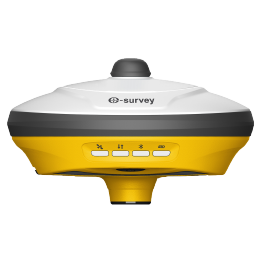 E200
E200 E300 Pro
 E500
E500 E800
E800 eDMR1
eDMR1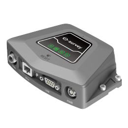 NET10
NET10 NET20 PLUS
 eHP10
eHP10 P9IV
P9IV UT12P
UT12P UT32
UT32 Surpad4.2
 GEOSolution
 GNSS.NET
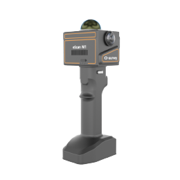 eScan M1
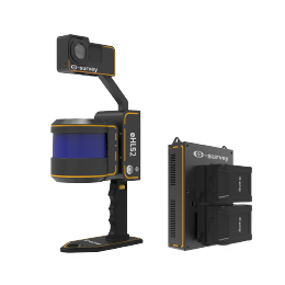 eHLS2
eHLS2 eME30
eME30 eME10
eME10 eMP10
eMP10 eMG30
eMG30 eMR10
eMR10 eMB10
eMB10 eMC10
eMC10 Bestar 301
  EAS301 Pro Electric Wheel
 EAS301 Pro Hydraulic
 EAS100
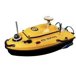 VE115
VE115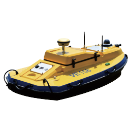 VE158
VE158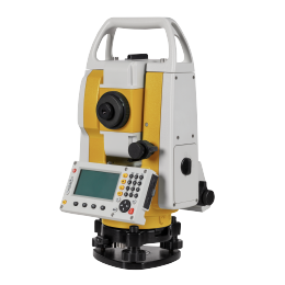 E3
E3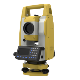 eTS2
eTS2 eTS5
eTS5 eTS8
eTS8 ESL2
ESL2 ESL3
ESL3 ET2A
ET2A TRU35
TRU35 UA91
UA91 UA92
UA92 UA35
UA35.png)

