CAD AR Stakeout: Improved Efficiency
CAD drawings are directly marked on the Surpad interface, so no need to choose each point individually. The CAD AR stakeout is a highly effective tool for optimizing stakeout operations and simplifying complex construction tasks in a variety of construction scenarios. The eRTK20 improves stakeout productivity by 40% by combining CAD base maps and augmented reality (AR) visualization.
Max 60° Tilt Survey: A Different Way of Working
· Accurately measure points while standing or walking without leveling the pole.
· Focus on where the pole tip should go, especially during stakeouts.
· Conveniently conduct surveys in difficult-to-reach areas such building corners and slopes.
· No need to worry about the movement of the pole when measuring, as long as it remains steady.
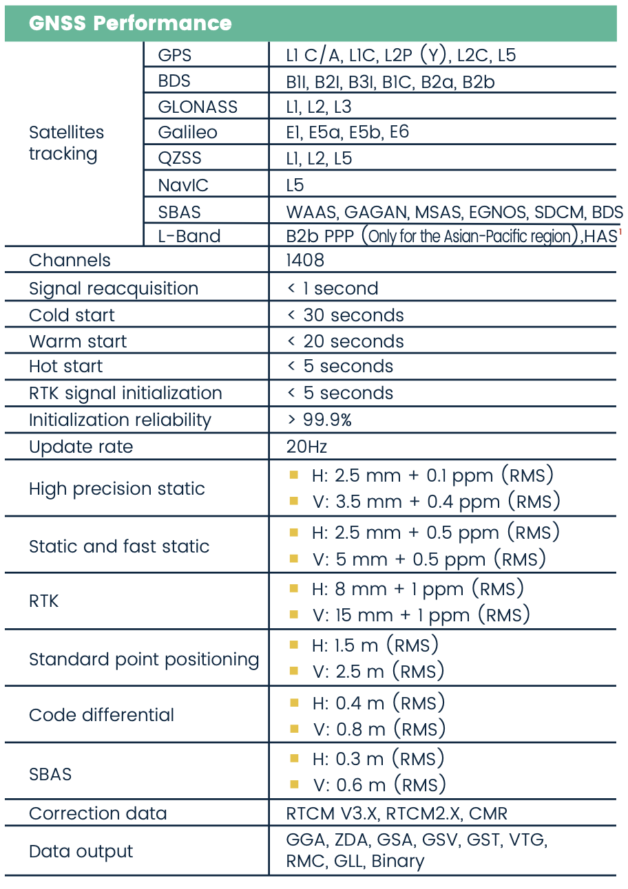
Multi-Constellation and Multi-Frequency
With 1408 GNSS tracking channels, it ensures robust and reliable accuracy while also being extremely resistant to multipath effects and interference. All GNSS signals come with the standard including GPS, BDS, GLONASS, Galileo, QZSS, NavIC, SBAS and L-Band.
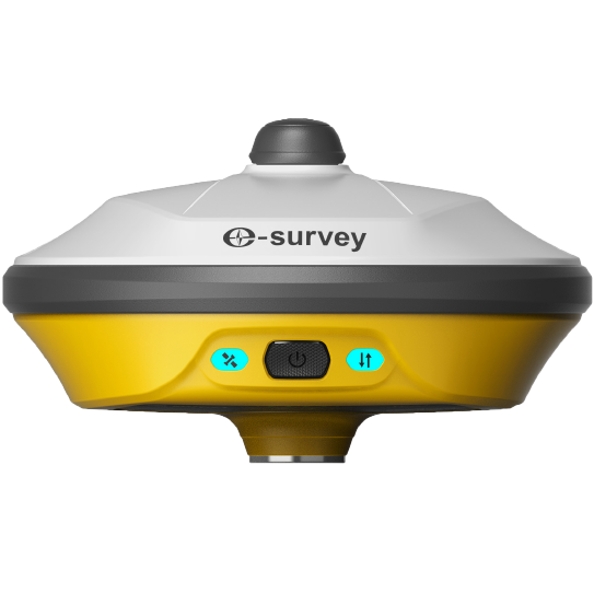
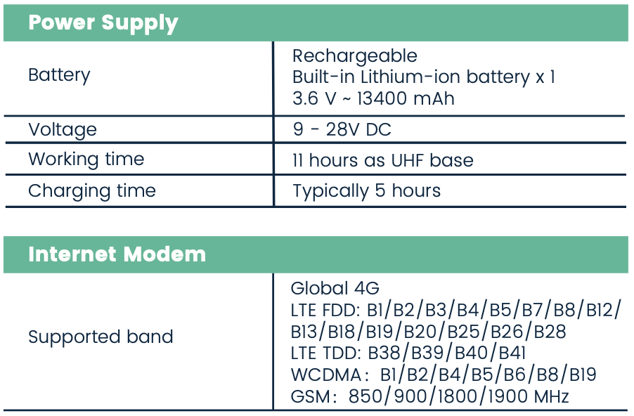
Tx/Rx UHF Modem and 4G Modem
The built-in worldwide 4G Network and Tx/Rx UHF modem enable eRTK20 to transmit GNSS corrections seamlessly regardless of the operating environment. The eRTK20 is compatible with traditional major radio protocols.
.png)
.png)


 eRTK10 mini
 eRTK20
 eRTK25
 eRTK30
 eRTK60
 eBase 20
 E200
E200 E300 Pro
 E500
E500 E800
E800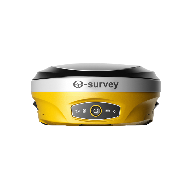 E600
E600 eDMR1
eDMR1 eSAR50
 NET10
NET10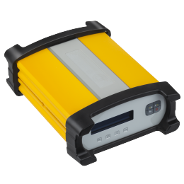 NET20 PLUS
 eHP10
eHP10 eHP10 Lite
 P8III
P8III P9IV
P9IV UT32
UT32 eSA3
eSA3 Surpad4.2
 GEOSolution
 GNSS.NET
 RootNet
 eScan M1
 eHLS2
eHLS2 eLidar A1
 eME10
eME10 eME30
eME30 eMP10
eMP10 eMG30
eMG30 eMR10
eMR10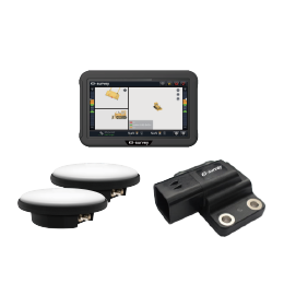 eMB10
eMB10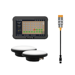 eMC10
eMC10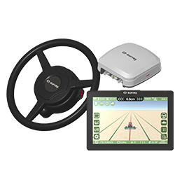 EAS502
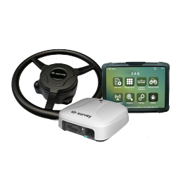 Bestar 301
 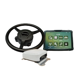 EAS301 Pro Motor
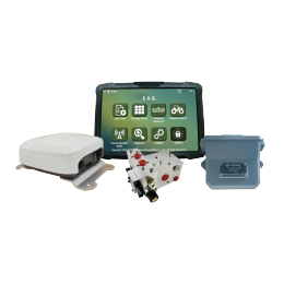 EAS301 Pro Hydraulic
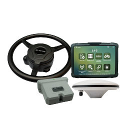 EAS100
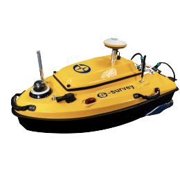 VE115
VE115 VE158
VE158 VE90
VE90.png) eTS32
eTS32 E3
E3 eTS2
eTS2 eTS8
eTS8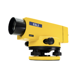 ESL2
ESL2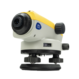 ESL3
ESL3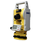 ET2A
ET2A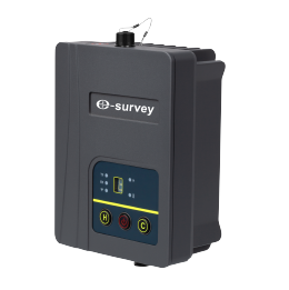 TRU35
TRU35 UA91
UA91 UA92
UA92 UA35
UA35.png)