AR Visual Stakeout: More Efficient Stakeout
There is no need to move the pole back and forth and rely on work experience during a stakeout. Follow the visual guide to precisely find the target stakeout point. Suitable for a non-experienced user and provide up to 50% more efficiency.
Max 60° Tilt Survey: A Different Way of Working
· Quickly measure accurate points while standing or walking without leveling the pole.
· Concentrate on where the pole tip needs to go, which is especially useful during a stakeout.
· Easily start a survey in environments that are hard to reach, such as building corners and slopes.
· No longer worry about the movement of the pole when measuring, provided that the pole tip is stationary.
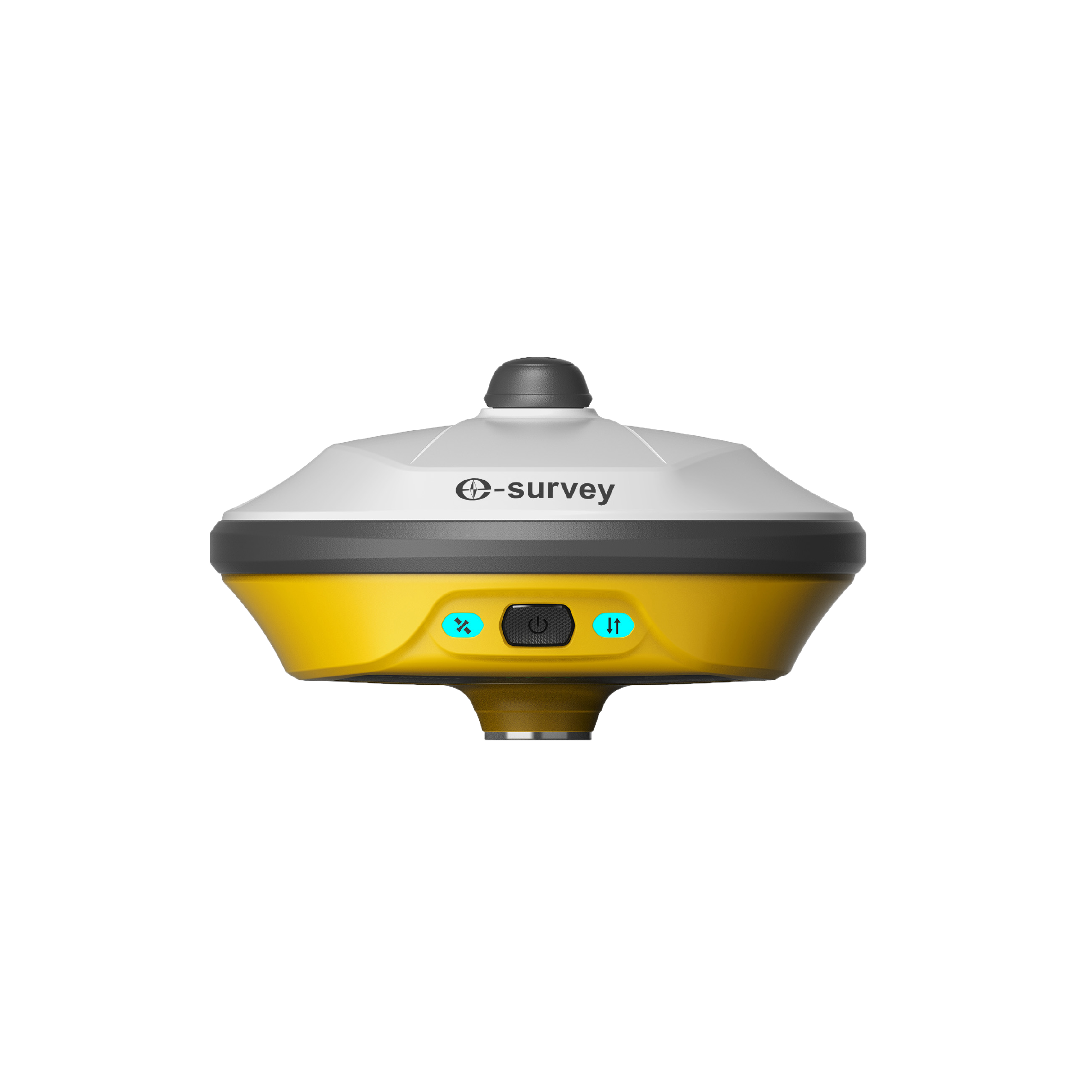
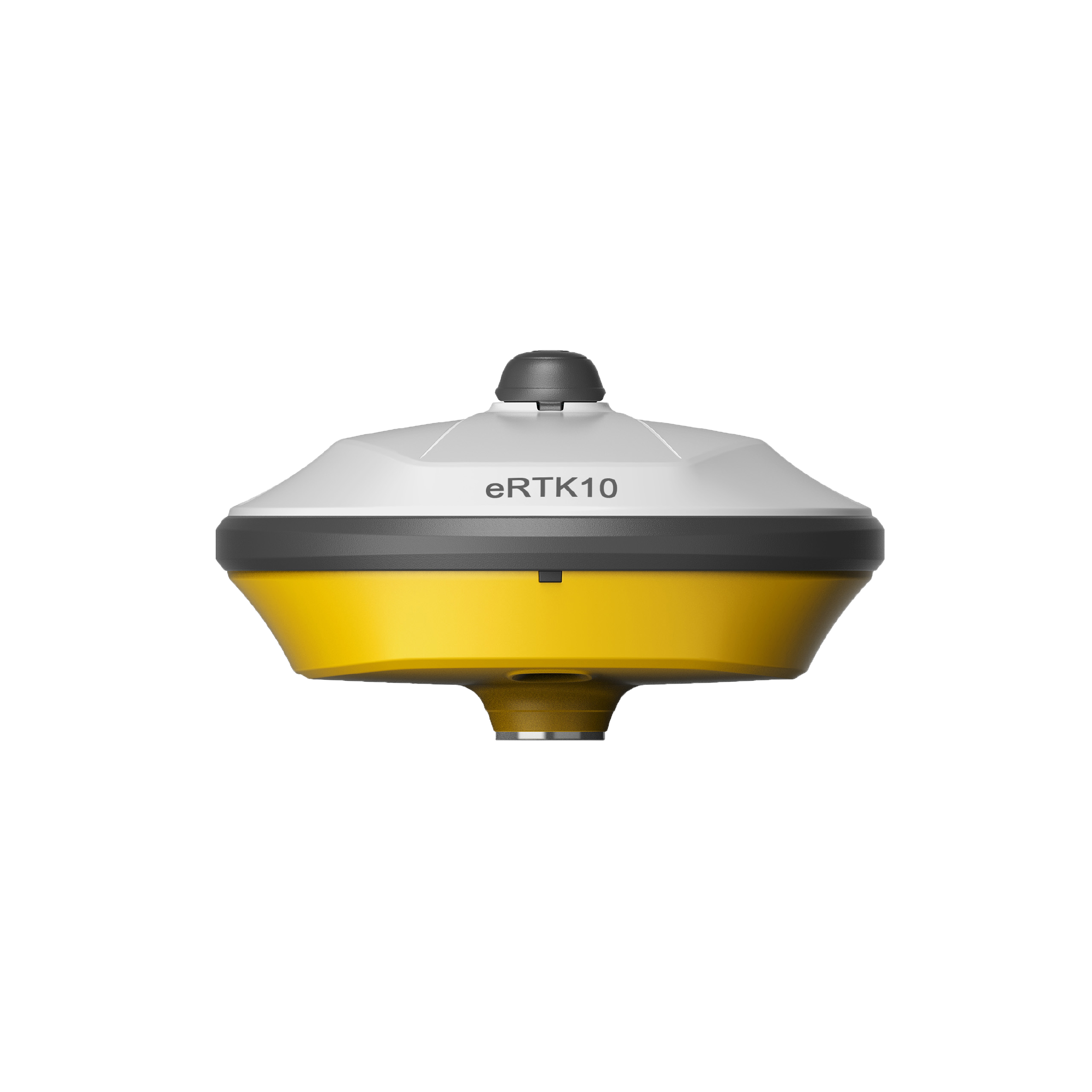
Rugged Design
It is strongly made and capable of withstanding rough handling and no need to worry about variety tough environments.
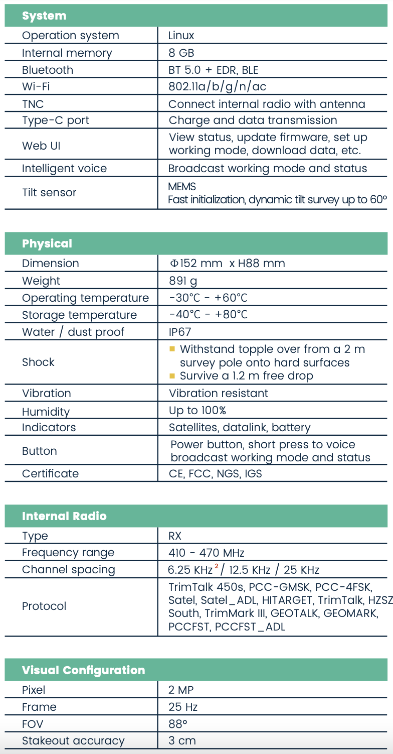
Multi-Constellation and Multi-Frequency
With 1408 channels of GNSS tracking, it provides stable and reliable accuracy. All GNSS signals come with the standard including GPS, BDS, GLONASS, Galileo, QZSS, NavIC, SBAS and L-Band.
Light Weight & Compact Design
The compact design of the eRTK10 makes it a small size and lightweight GNSS receiver, it is easy to carry around by users without getting tired.
Web UI
It allows users to view position status, set up working mode, download data, and update firmware from the Web user interface with any smart phone, tablet, or PC.
.png)


 eRTK10 mini
 eRTK20
 eRTK25
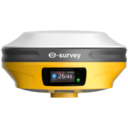 eRTK30
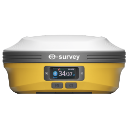 eRTK60
 eBase 20
.png) eBase 30
eBase 30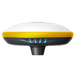 E300 Pro
 E500
E500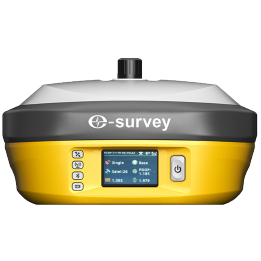 E800
E800 E800 Pro
 E600
E600 eDMR1
eDMR1 eSAR50
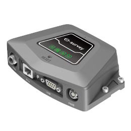 NET10
NET10 NET20 PLUS
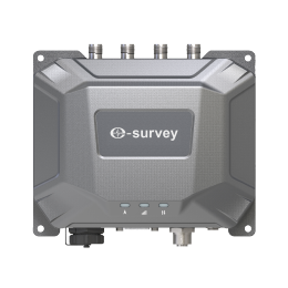 eHP10
eHP10 eHP10 Lite
 P8III
P8III P9IV
P9IV UT32
UT32 eSA3
eSA3 260_260.png) eT80(H)
eT80(H) Surpad4.2
 GEOSolution
 RootNet
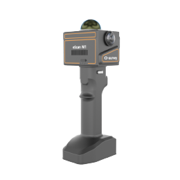 eScan M1
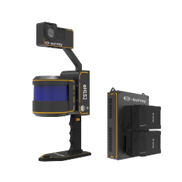 eHLS2
eHLS2 eLidar A1
 eME10
eME10 eME30
eME30 eMP10
eMP10 eMG30
eMG30 eMR10
eMR10 eMB10
eMB10 eMC10
eMC10 EAS502
 Bestar 301
 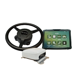 EAS301 Pro Motor
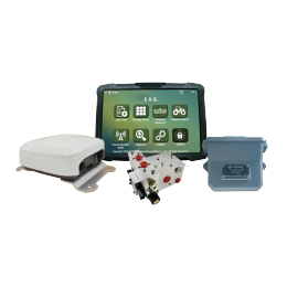 EAS301 Pro Hydraulic
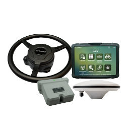 EAS100
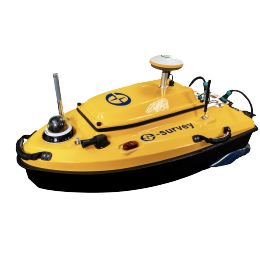 VE115
VE115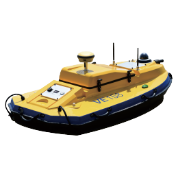 VE158
VE158 VE90
VE90.png) eTS32
eTS32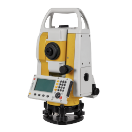 E3
E3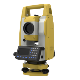 eTS2
eTS2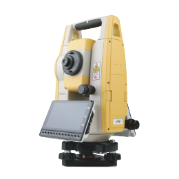 eTS8
eTS8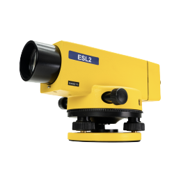 ESL2
ESL2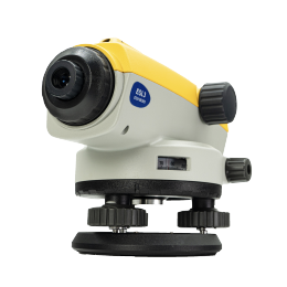 ESL3
ESL3 ET2A
ET2A TRU35
TRU35 UA91
UA91 UA92
UA92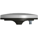 UA35
UA35.png)

