|
Basic Information
|
|
Platform
|
Android
|
|
Update
|
Support online update
|
|
Activation
|
Support online activation
|
|
Communication
|
|
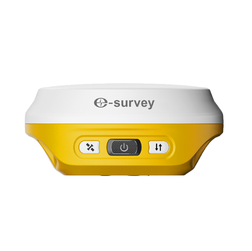
Bluetooth
|
Support
|
|
WIFI
|
Support
|
|
Serial Port
|
Support
|
|
Simulation
|
Support customized
coordinate
|
|
Map Function
|
|
Online
|
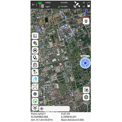
Google street map1
Google satellite map1
Open street map
|
|
Offline
|
SHP, DXF, DWG, XML
|
|
Coordinate System
|
|
Predefined
|
Large number of coordinate
Systems
|
|
Localization
|
Four parameters and seven
parameters
|
|
Geoid Files
|
GGF, SGF, UGF
|
|
Grid Files
|
GSB
|
|
Sharing Function
|
Share with QR code or save
locally
|
|
RTCM1021~1027
|
Support
|
|
|
|
|
Import & Export
|
|
Export
|
CSV, DAT, DXF, KML, GPX,
HTML…
|
|
Import
|
CSV, DAT, TXT, DXF, KML…
|
|
|
|
|
Survey Mode
|
|
Point Type
|
Topo Point
Control Point
Quick Point
Auto Point by time/distance Corner Point
Tilt Point
Stop and Go
|
|
CAD Entity
|
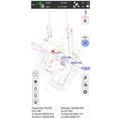
Line, Polyline, Rectangle, Polygon,
Circle, Arc, Spline
|
|
|
|
|
CAD Function
|
|
|
CAD Layer
|
Support DXF, DWG, XML
|
|
View in 3D
|
Support
|
|
Real-time Drawing
|
Support
|
|
Manual Drawing
|
Support
|
|
CAD Surveying
|
Support
|
|
CAD Calculation
|
Angle, distance and area
|
|
|
|
|
COGO
|
|
COGO Function
|
Coordinate inverse calculation
Point line calculation
Vector
Two lines angle
Intersection calculation
Resection
Forward intersection
Coordinate positive calculation
Offset point calculation
Equal point calculation
|
|
Stakeout
|
|
Stakeout Target
|
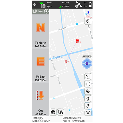
Point, line, road, cross
section
|
|
Stakeout Reference
|
North or forward direction
|
|
Voice
|
Support voice prompt
|
|
|
|
|
Language
|
|
|
Software language
|
English
Simplified Chinese
Traditional Chinese
Portuguese
Korean
Polish
Spanish
Turkish
Russian
Italian
Japanese
Magyar
Sweden
Serbian
Greek
French
Bulgarian
Slovensky
Czech
Finnish
Germany
Lithuania
|
.png)


 eRTK10 mini
 eRTK10
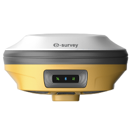 eRTK20
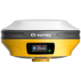 eRTK30
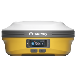 eRTK60
 eBase 20
 E200
E200 E300 Pro
 E500
E500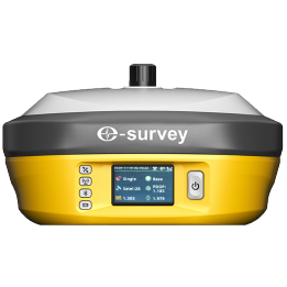 E800
E800 eDMR1
eDMR1 NET10
NET10 NET20 PLUS
 eHP10
eHP10 P9IV
P9IV UT12P
UT12P UT32
UT32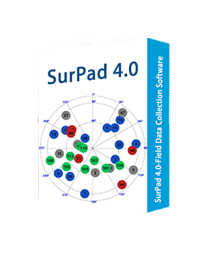 Surpad4.2
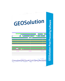 GEOSolution
 GNSS.NET
 eScan M1
 eHLS2
eHLS2 eME30
eME30 eME10
eME10 eMP10
eMP10 eMG30
eMG30 eMR10
eMR10 eMB10
eMB10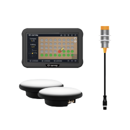 eMC10
eMC10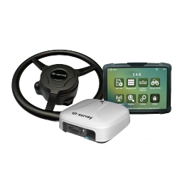 Bestar 301
 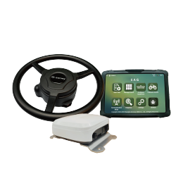 EAS301 Pro Motor
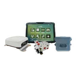 EAS301 Pro Hydraulic
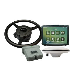 EAS100
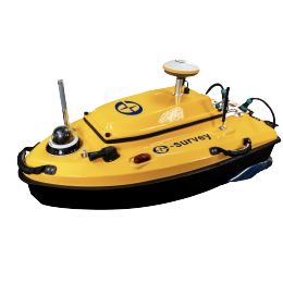 VE115
VE115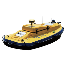 VE158
VE158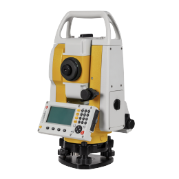 E3
E3 eTS2
eTS2 eTS5
eTS5 eTS8
eTS8 ESL2
ESL2 ESL3
ESL3 ET2A
ET2A TRU35
TRU35 UA91
UA91 UA92
UA92 UA35
UA35.png)

