.png)
Welcome,
Date:2023-09-06
keyword: SurPad, Total Station, GIS, survey, land survey
Connect the total station through Bluetooth or serial port, the
connection method is simple and easy to operate.
The functions are comprehensive and powerful. SurPad can be used
to operate the total station for various measurement tasks, including Parameter
Settings, Orientation Setup, Point Survey, Point Stakeout, Cross Section
Measurement, Opposite side measurement, Remote height measurement etc., to meet
the needs of field measurement.
Redefine the field data collection method, simplify the workflow, and significantly improve the efficiency of measurement work.
Total Station Adaptation Instructions
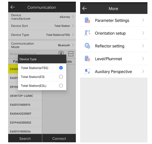
Click
[Instrument] -> [Parameter Settings].
Here you can
set whether to turn on the crosshair lighting, laser plummet, guide light, laser
pointing, and other functions of the total station. The distance measurement
mode has three options: fine measurement, quick measurement, and tracking
measurement.
1. Orientation settings
Click [Instrument] -> [Orientation Settings] to set the station point and
backsight point for orientation. There are coordinate point methods and angle methods
to set the backsight. The coordinate point method needs to input the north, east,
and elevation coordinates of the backsight point, and the angle method needs to
input the azimuth angle.
2. Reflector Settings
Click [Instrument] -> [Reflector Settings] to set the height of the
instrument and the height of the prism. Reflectors include prisms, non-prisms,
and reflectors.
Prism: You need to input prism height, instrument height, and prism constant.
No prism: It is suitable for distance measurement in places where it is not
suitable to place reflective prisms or reflective sheets. For example,
observation of landslides on cliffs, rock walls, etc., deformation measurement,
tunnel construction, etc.
Reflectors: Use reflectors to measure distances. Pay attention to the fact that
the signal will be poor if the distance is long, so it is best to choose to
measure in good weather conditions and decent light sight. In addition, the
measured elevation may be biased, so multiple measurements are required to take
the average.
3. Point measurement
Click
[Measurement] -> [Point measurement], click [Connection], enter the
communication setting interface, click [Orientation setting] to enter the
orientation setting interface, and click [Distance measurement] the total
station will collect points. Optional measurement modes include back intersection, angle eccentricity, distance eccentricity, and cylinder eccentricity.
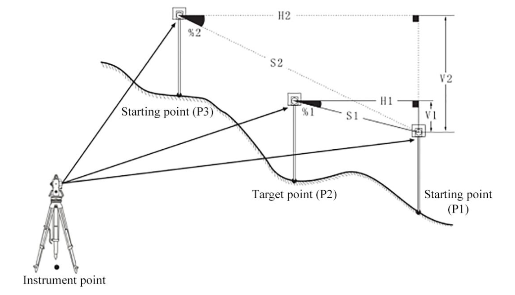
4. Opposite side measurement
Opposite side measurement is to directly measure, without moving the
instrument, the slope distance, horizontal distance, and vertical difference of
multiple target points from a given starting point (P1).
The final
measured point can be set as the starting point of subsequent measurements.
The vertical difference between any target point and the starting point can also be displayed as a slope.
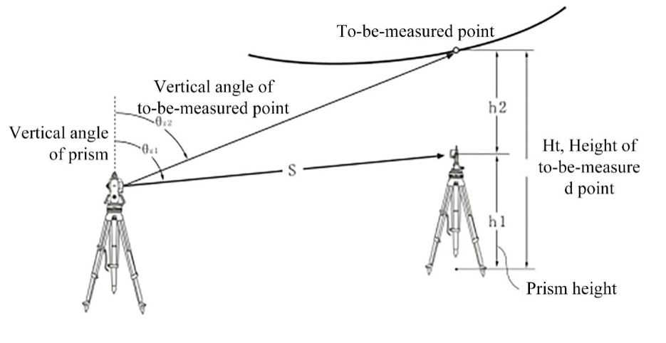
5. Remote
elevation measurement
Remote elevation measurement is performed for objects on which prism cannot be
set, such as height measurement of high-voltage transmission lines, overhead
cables, bridges, and so on.
Height can be
calculated by using the following formulas:
Ht=h1+h2
h2=Ssinθz1×ctgθz2-Scosθz1

 eRTK10 mini
 eRTK20
 eRTK25
 eRTK30
 eRTK60
 eBase 20
.png) eBase 30
eBase 30 E300 Pro
 E500
E500 E800
E800 E800 Pro
 E600
E600 eDMR1
eDMR1 eSAR50
 NET10
NET10 NET20 PLUS
 eHP10
eHP10 eHP10 Lite
 P8III
P8III P9IV
P9IV P9V
P9V UT32
UT32 eSA3
eSA3 260_260.png) eT80(H)
eT80(H)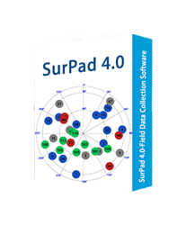 Surpad4.2
 GEOSolution
 RootNet
 eScan M1
 eHLS2
eHLS2 eLidar A1
 eME10
eME10 eME30
eME30 eMP10
eMP10 eMG30
eMG30 eMR10
eMR10 eMB10
eMB10 eMC10
eMC10 EAS502
 Bestar 301
  EAS301 Pro Motor
 EAS301 Pro Hydraulic
 EAS100
 VE115
VE115 VE158
VE158 VE90
VE90.png) eTS32
eTS32 E3
E3 eTS2
eTS2 eTS8
eTS8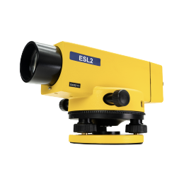 ESL2
ESL2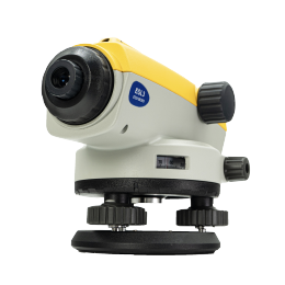 ESL3
ESL3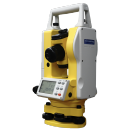 ET2A
ET2A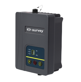 TRU35
TRU35 UA91
UA91 UA92
UA92 UA35
UA35.png)

