.png)
Welcome,
Date:2023-06-19
keyword: GNSS Receiver, RTK, Precise Elevation, Elevation Measurements
Global Navigation Satellite System (GNSS) receivers have become a popular tool for precise elevation measurements in various industries such as construction, surveying, and agriculture. GNSS technology uses satellite signals to determine the precise location of a receiver on the earth's surface. By using GNSS receivers, users can obtain highly accurate elevation measurements that are crucial for many applications. Here are some tips on how to use GNSS receivers for precise elevation measurements:
1. Choose the Right GNSS Receiver
Choosing the right GNSS receiver is crucial for obtaining accurate elevation measurements. High-end receivers are equipped with advanced features such as Real-Time Kinematic (RTK) technology, which provides centimeter-level accuracy. However, these receivers are expensive and may not be necessary for all applications. Mid-range receivers are suitable for most applications and provide sub-meter level accuracy.
2. Select the Right Antenna
The antenna is an essential component of the GNSS receiver, and selecting the right antenna is crucial for obtaining accurate elevation measurements. Antennas come in different types, such as patch, helix, and choke ring. The type of antenna you choose will depend on the application and the environment in which you are working.
3. Choose the Right Surveying Technique
There are two surveying techniques used with GNSS receivers for elevation measurements: static surveying and real-time kinematic surveying. Static surveying involves leaving the receiver stationary for a period of time to obtain highly accurate measurements. Real-time kinematic surveying involves using a base station and a rover to obtain real-time measurements with centimeter-level accuracy.
4. Consider Environmental Factors
Environmental factors such as tree cover, buildings, and terrain can affect the accuracy of elevation measurements obtained with GNSS receivers. It is essential to choose a location that has a clear view of the sky to obtain accurate measurements.
5. Post-Processing Data
Post-processing data is an essential step in obtaining accurate elevation measurements with GNSS receivers. Software such as Trimble Business Center and Leica Geo Office can be used to process the data and obtain accurate measurements.
In conclusion, GNSS receivers are an essential tool for obtaining precise elevation measurements. Choosing the right receiver, antenna, surveying technique, considering environmental factors, and post-processing data are crucial steps in obtaining accurate measurements. By following these tips, users can obtain highly accurate elevation measurements that are crucial for many applications.

 eRTK10 mini
 eRTK10
 eRTK20
 eRTK30
 eRTK60
 eBase 20
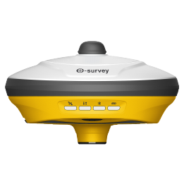 E200
E200 E300 Pro
 E500
E500 E800
E800 E600
E600 eDMR1
eDMR1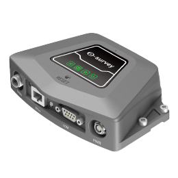 NET10
NET10 NET20 PLUS
 eHP10
eHP10 P9IV
P9IV UT12P
UT12P UT32
UT32 Surpad4.2
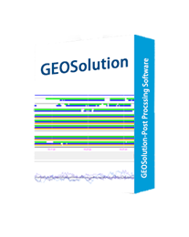 GEOSolution
 GNSS.NET
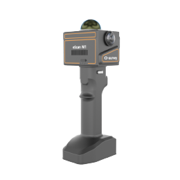 eScan M1
 eHLS2
eHLS2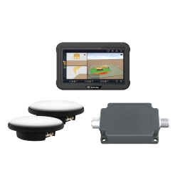 eME30
eME30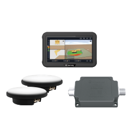 eME10
eME10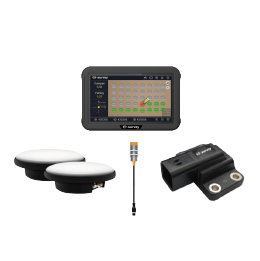 eMP10
eMP10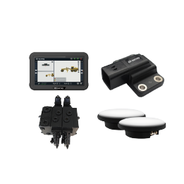 eMG30
eMG30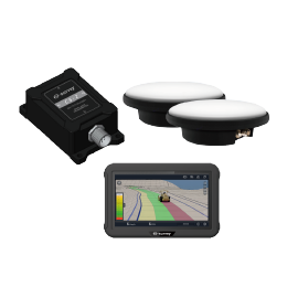 eMR10
eMR10 eMB10
eMB10 eMC10
eMC10 Bestar 301
  EAS301 Pro Motor
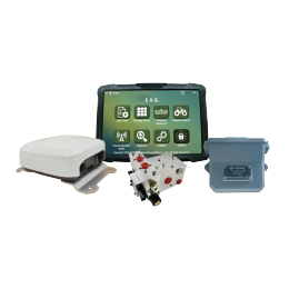 EAS301 Pro Hydraulic
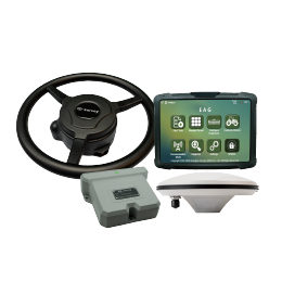 EAS100
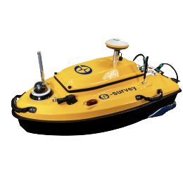 VE115
VE115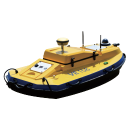 VE158
VE158 E3
E3 eTS2
eTS2 eTS5
eTS5 eTS8
eTS8 ESL2
ESL2 ESL3
ESL3 ET2A
ET2A TRU35
TRU35 UA91
UA91 UA92
UA92 UA35
UA35.png)

