Welcome
,
Login
Please select language
English
Español
français
русский
عربى
한국어
日本語
Welcome
,
Login
确定
GNSS Systems
Integrated GNSS Systems
eRTK10 mini
eRTK20
eRTK25
eRTK30
eRTK60
eBase 20
eBase 30
E300 Pro
E500
E800
E800 Pro
E600
Monitoring Deformation
eDMR1
eSAR50
CORS
NET10
NET20 PLUS
Integrated Navigation
eHP10
eHP10 Lite
Handheld & Tablet
P8III
P9IV
P9V
UT32
eSA3
eT80(H)
Software Solutions
Surpad4.2
GEOSolution
RootNet
SLAM
Handheld Lidar Scanner
eScan M1
eHLS2
eLidar A1
Machine Control Solutions
Excavator
eME10
eME30
Piling System
eMP10
Grader
eMG30
Compactor
eMR10
Bulldozer
eMB10
Crane
eMC10
Precision Agriculture
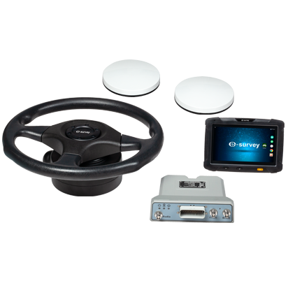
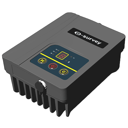
Guidance & Steering Platform
EAS502
Bestar 301
EAS301 Pro Motor
EAS301 Pro Hydraulic
EAS100
Marine Systems
USV
VE115
VE158
VE90
Optical Systems
Total Station
eTS32
E3
eTS2
eTS8
Automatic Level
ESL2
ESL3
Theodolite
ET2A
Radio & Antenna
Radio
TRU35
Antenna
UA91
UA92
UA35
/
:
!
:
!
登陆
注册
: *
!
: *
!
: *
:*
!
: *
!
: *
!
注册
登陆
:
?
All Products
FAQ
Download
About
Career
News & Events
Case Study
Become a Dealer
Find a Dealer
Video Center
Home
FAQ
FAQ
Search
TAG List
Land Survey
Rugged & GIS
Machine Contorl & Agriculture
OEM
Software
UAV & USV
10 Frequently Asked Question
1
UA301_How to convert log file to Rinex
2
Surpad_Switch the map
3
Receiver_Take long time to connect to CORS
4
Surpad4.0 Cannot search receiver hotspot
5
How to enable the Wifi of M1G2
6
GEOSolution registration information lost
7
P8II Electronic compass is invalid
8
P8II Cannot Install MTK Driver
9
Surpad4.0 Cannot create new project
.png)

 eRTK10 mini
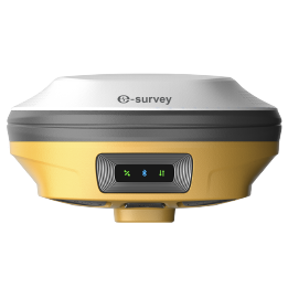 eRTK20
 eRTK25
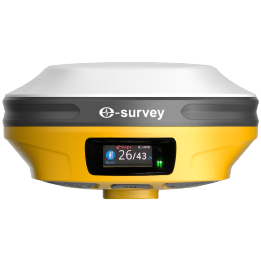 eRTK30
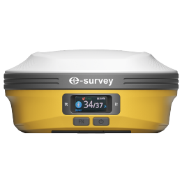 eRTK60
 eBase 20
.png) eBase 30
eBase 30 E300 Pro
 E500
E500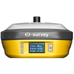 E800
E800 E800 Pro
 E600
E600 eDMR1
eDMR1 eSAR50
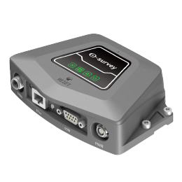 NET10
NET10 NET20 PLUS
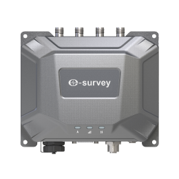 eHP10
eHP10 eHP10 Lite
 P8III
P8III P9IV
P9IV P9V
P9V UT32
UT32 eSA3
eSA3 260_260.png) eT80(H)
eT80(H) Surpad4.2
 GEOSolution
 RootNet
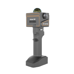 eScan M1
 eHLS2
eHLS2 eLidar A1
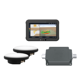 eME10
eME10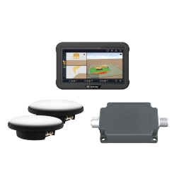 eME30
eME30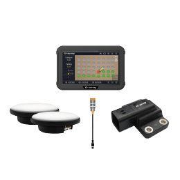 eMP10
eMP10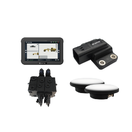 eMG30
eMG30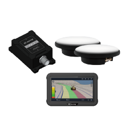 eMR10
eMR10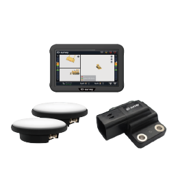 eMB10
eMB10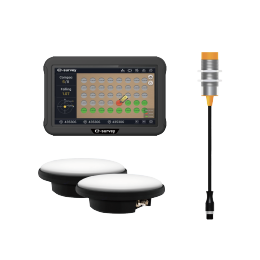 eMC10
eMC10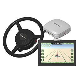 EAS502
 Bestar 301
  EAS301 Pro Motor
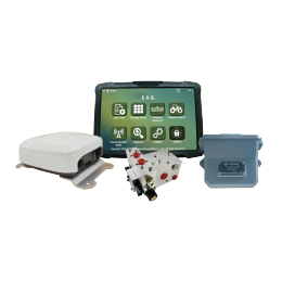 EAS301 Pro Hydraulic
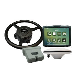 EAS100
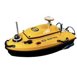 VE115
VE115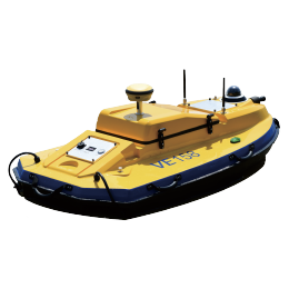 VE158
VE158 VE90
VE90.png) eTS32
eTS32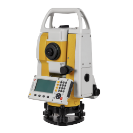 E3
E3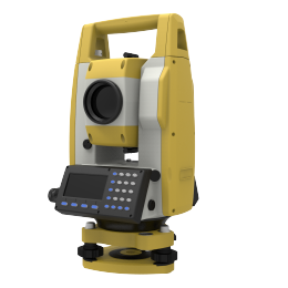 eTS2
eTS2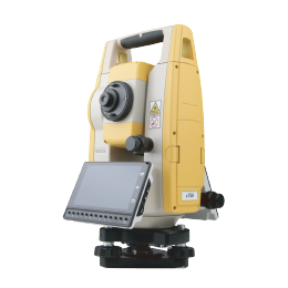 eTS8
eTS8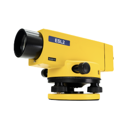 ESL2
ESL2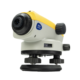 ESL3
ESL3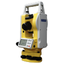 ET2A
ET2A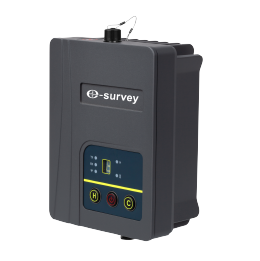 TRU35
TRU35 UA91
UA91 UA92
UA92 UA35
UA35.png)